
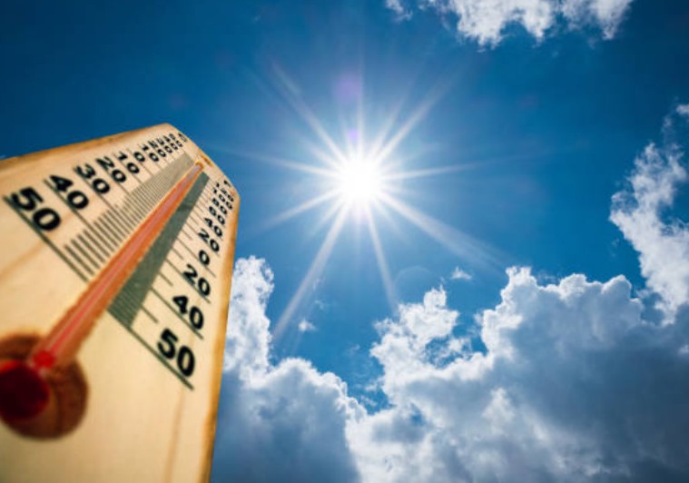
The United Kingdom is currently gripped by an unseasonably intense “mini-heatwave,” with temperatures in the South East of England projected to soar to 22°C by Wednesday, 8 April 2026.
This sudden thermal spike, driven by a Saharan air mass, has bypassed the traditional “April showers” phase, plunging the nation into conditions more typical of late June.
While the “Sun-and-Steel” skyline of London basks in glorious sunshine, a dramatic meteorological split is bisecting the country.
As millions of Britons head to coastal resorts and urban parks, transport networks and health authorities are scrambling to manage the risks associated with a 9°C jump above the seasonal average.
Is This the Warmest April on Record for the UK?
While the all-time April record of 29.4°C (set in 1949) remains safe for now, the current spike is significant because of its timing. Early April usually sees mean maximums of just 11°C to 13°C.
This significant thermal anomaly follows a period of volatile conditions, where many regions saw the 22C mini-heatwave to follow Storm Dave, which dominated headlines last week.
The current phenomenon is caused by a “Southerly Plume”, a weather pattern where high pressure over Central Europe acts as a vacuum, sucking warm, dry air from North Africa and the Iberian Peninsula across the English Channel.
A chilly start for many but temperatures climbing quickly through the morning
Plenty of sunshine but cloudier for western Scotland and Northern Ireland pic.twitter.com/AVWoU4Q1IA
— Met Office (@metoffice) April 6, 2026
This has resulted in a rare “Blue Sky Event” for the majority of England and Wales, characterized by high visibility and extremely low humidity.
Which UK Towns and Cities are Seeing the Highest Temperatures?
The distribution of this warmth is far from equal, creating a stark contrast across the four nations.
The “Hot Zone”: South and East England
- London & Home Counties: Areas like Dartford, Croydon, and Slough are expected to peak at 21°C today, rising to 22°C tomorrow.
- East Anglia: Norwich and Cambridge are experiencing unbroken sunshine, with local businesses reporting a “summer-style” surge in trade.
The “Misty Middle”: The Midlands and Wales
- Birmingham & Cardiff: These regions are enjoying a very respectable 19°C, though increased cloud cover may move in by Wednesday evening.
The “Atlantic Fringe”: Scotland and Northern Ireland
In a complete reversal of the southern fortune, Glasgow, Belfast, and the Western Isles remain under the thumb of the Atlantic.
- Rainfall Alerts: Western Scotland is bracing for localized flooding as a stationary front brings persistent drizzle and heavy bursts of rain through Tuesday night.
- Temperatures: Capped at a modest 12°C, feeling cooler in the brisk coastal winds.
What are the Authorities Saying?
The Met Office has transitioned its messaging to emphasize the “unusually high” temperatures for the first week of April. Meanwhile, the UK Health Security Agency (UKHSA) has issued a briefing regarding the “sudden onset” of heat.
“The transition from a cool, damp March to a 22°C April is statistically abrupt.
While not a ‘heat emergency’ by summer standards, the UV index is reaching Level 5 in the south, which is high enough to cause sunburn on fair skin within 30 minutes,” says a Met Office Chief Meteorologist. “
Transport for London (TfL) has also alerted commuters on the Central and Victoria Lines to carry water, as the deep-level tunnels retain heat more aggressively than surface-level infrastructure during these sudden spikes.
How is the “Pollen Bomb” Affecting Public Health?
A critical side-effect of this weather is the premature “Pollen Bomb.” The NHS and Asthma + Lung UK have reported a sharp increase in GP inquiries this week.
- Tree Pollen: The sudden warmth has triggered a massive release of Birch and Ash pollen.
- Air Quality: High pressure often traps urban pollutants. Local councils in London, Manchester, and Bristol have monitored “Moderate” pollution levels, advising those with respiratory issues to avoid strenuous outdoor exercise during the midday heat.
Impact on National Infrastructure:
The British economy reacts instantly to 20°C+ weather in Spring.
- Retail Surge: Major supermarkets like Tesco and Waitrose have reported a 400% week-on-week increase in the sale of disposable BBQs, rosé wine, and charcoal.
- Rail Restrictions: While “buckling rails” usually occur at 30°C, Network Rail engineers are monitoring track temperatures on the Great Western Mainline, where the rapid expansion of metal can occasionally lead to signal failures.
- Water Usage: Local water boards, including Thames Water, have noted a significant uptick in garden hose usage, though no restrictions are currently planned.
What Happens After Wednesday?
All good things must end, and the “April Scorcher” is no exception. Meteorological models indicate a “Thundery Breakdown” beginning late Thursday.
As the high-pressure system slides towards Scandinavia, a cold front from the North Sea will collide with the warm air over the UK. This is expected to trigger:
- Sharp Thunderstorms: Particularly across the Midlands and Northern England on Thursday night.
- Temperature Drop: A dramatic “crash” of nearly 10°C. By Saturday, London will return to a more standard 12°C.
- Coastal Mist: Known as “Haar” in Scotland and “Fret” in North East England, this sea fog will likely roll in, making coastal areas feel significantly colder.
Is This the New Normal for British Springtime?
Climate analysts at the University of Reading suggest that while “singular spikes” like this have happened before, the frequency of 20°C+ days in early April has tripled since the 1990s.
This “seasonal creep” means that the UK’s infrastructure, designed largely for a cool, temperate climate, must now adapt to handle Mediterranean-style heat earlier in the calendar year.