
Five-Day UK Heatwave to Hit This Month, Temperatures Could Soar to 36°C
Britain is bracing for yet another bout of sizzling summer weather as a five-day heatwave is forecast to scorch the nation later this month. Temperatures could climb as high as 36°C, making it one of the hottest spells of the year.
The UK’s summer has been a rollercoaster. We’ve basked in sunshine and endured multiple bursts of hot weather, only to be thrown into a stormy start to August.
Earlier this week, Storm Floris lashed parts of the country, particularly the north, with heavy downpours and fierce winds. Since then, conditions have remained unsettled, with a mix of showers and sunny intervals.
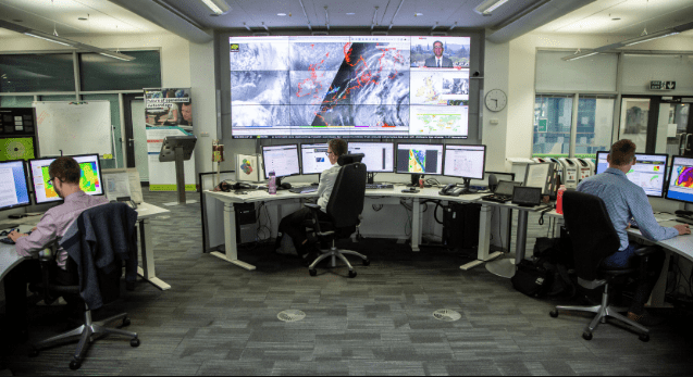
But that’s about to change. Weather models from WXCharts show a dramatic shift beginning on Monday, 19 August, stretching until Friday, 23 August.
During this period, large swathes of the country will see the mercury soaring, with the southeast expected to sizzle the most. The charts turn deep red, signalling extreme heat, peaking on Friday, 23 August, when central and southern England could hit the mid-30s.
Northern England will also feel the heat, reaching the high 20s, while even Scotland won’t escape, with northern areas nudging the upper 20s on Thursday, 22 August. However, by the following day, cooler air will return to Scotland, pulling temperatures back into the high teens.
This hot spell is being driven by a shift in pressure systems. From Sunday, high pressure is expected to dominate, as the tail-end of Tropical Storm Dexter pushes warm air up from the southwest.
Met Office Deputy Chief Meteorologist, Steven Keates, said: “We’re confident that temperatures will increase markedly by the start of next week, reaching the low 30s Celsius in parts of England on Monday and perhaps the mid 30s in a few places on Tuesday.
However, the length of this warm spell is still uncertain, and it is possible that high temperatures could persist further into next week, particularly in the south.
Ex-Dexter sets the wheels in motion for an uptick in temperatures, but the weather patterns then maintaining any hot weather are rather more uncertain”.
The Met Office long-range outlook for 22 August to 5 September suggests: “High pressure, and therefore largely settled conditions overall, appears more likely at first. Although dry weather is likely to dominate, periods of rain or showers and thunderstorms may develop at times.
Above-average temperatures overall seem most likely, with the potential for further hot spells to develop, especially in the east and south.
By the turn of the month, there are signals for high pressure to become less dominant with perhaps a greater chance of some rain, possibly more likely in the south at first, though there is some uncertainty in this aspect of the forecast.”
For now, though, all eyes are on next week’s sweltering blast. Brits are being warned to prepare for potentially dangerous levels of heat, particularly in urban areas where temperatures may remain uncomfortably high overnight.
With August set to turn up the thermostat, this heatwave could be one of the defining weather events of the summer.