
New Heatwave Alert: UK Braces for Scorching 37°C Temperatures This August
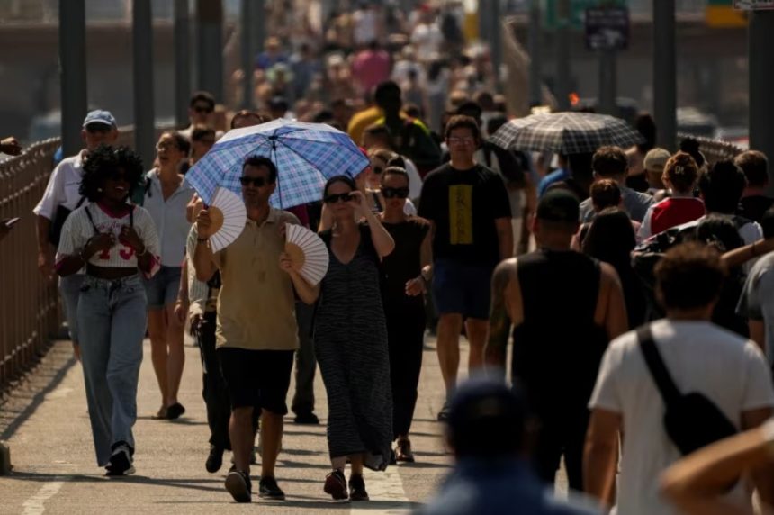
Britain is on alert once again as a new heatwave is set to grip parts of the country in mid-August, with temperatures predicted to surge up to a blistering 37°C.
After a dreary few weeks dominated by downpours, cool spells, and stormy skies, forecasters now warn that much of the UK could face a searing return to summer.
Data from WXCharts, using MetDesk projections, points to Saturday, August 16, as the start of a fierce hot spell — one that may rival the sweltering heights of the infamous 2022 heatwave.
The heat will be particularly intense in Gloucestershire, Warwickshire, Worcestershire, and North Wales, with those regions likely to bear the brunt of the extreme temperatures. Forecasts indicate they could push towards 37°C, dangerously close to the UK’s all-time high of 40°C.
Meanwhile, other countries won’t be far behind. Oxfordshire, Berkshire, and Hampshire are on track for highs of 36°C, with southern England broadly baking in temperatures around 35°C. South Wales, too, is expected to hit the same mark.
Further west, cities like Bristol and Bath will be sweltering around 33°C, while west and mid-Wales might find little relief with daytime temperatures peaking at 32°C.
The Midlands are expected to record anything between 33°C and 36°C, while Yorkshire and the Humber may reach 33°C.
Scotland and Northern Ireland, on the other hand, are set to stay cooler, though still warm, hovering in the low-to-mid 20s.
But it’s not just the daytime sun causing concern. Overnight conditions could prove even more uncomfortable.
According to The Mirror, the mercury might barely dip by midnight on August 17, with parts of central and southern England remaining at a staggering 34°C. A sleepless, sweaty night could await millions.
Come Sunday, the oppressive heat shows no signs of relenting. Essex, Norfolk, and Suffolk are forecast to bake in 36°C, while Kent, London, and Surrey could be sizzling at 34°C.
Even coastal spots like Brighton and Portsmouth won’t escape, with muggy conditions expected to peak around 33°C.
While the South roasts, the North prepares to be battered. An amber weather warning has been issued by the Met Office for much of Scotland as Storm Floris barrels in, threatening to bring “unseasonably disruptive” gusts on Monday.
A yellow warning for strong winds remains in force, stretching from the Scottish Borders all the way down to Manchester and parts of North Wales.
Dan Suri, Chief Meteorologist at the Met Office, stated: “Much of Scotland is likely to see gusts of 50-70mph with more than 80mph on some exposed coasts, hills and bridges.
Western coastal areas will see the highest gusts late morning, with the strongest winds transferring to northeastern Scotland by late afternoon.
“Across the wider Yellow warning area, many inland areas are likely to see gusts of 40-50mph, with 60mph likely at higher elevations and around some exposed coasts.”
This volatile mix of scorching temperatures and powerful winds makes for a dramatic forecast — and a week of weather the UK won’t soon forget.