
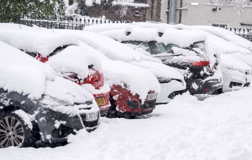
The snow forecast UK has taken centre stage again after the Met Office signalled a cold and unsettled start to the New Year, with snow possible in parts of Wales within the next few days.
A sharp drop in temperatures, combined with Arctic air pushing south and changing wind patterns, is creating the conditions for what forecasters are calling a wintry January across large parts of the UK.
Here’s the latest on what the Met Office expects, when snow could arrive, and how it may affect communities across Wales.
Is Wales likely to see snow soon?
According to the Met Office, the chances of snow in Wales are increasing, particularly during the opening weeks of January when colder air becomes more widespread.
Temperatures across Wales have already fallen noticeably over the past week as cold easterly winds moved in. These chilly conditions are forecast to stick around, raising the likelihood that heavier showers will fall as snow instead of rain.
Forecasters say wintry showers could develop more frequently as the cold air strengthens.
Met Office forecast: “Cold northerly winds, initially affecting Scotland, are expected to spread across the UK early in January, bringing wintry showers, often falling as snow, especially in exposed areas.”
When could snow arrive in Wales?
Weather forecasts for New Year’s Day point towards a colder and more unsettled picture for Wales.
Met Office outlook: “Showery rain moving in during New Year’s Day, with a growing risk of wintry showers. Conditions turning colder and breezier.”
Although widespread snow is not guaranteed straight away, higher ground and coastal locations are more likely to see snowfall, particularly overnight when temperatures fall close to freezing.
Why are temperatures dropping so quickly?
The rising snow risk is down to several weather factors working together:
- Northerly winds are dragging cold Arctic air south
- Easterly winds keeping daytime temperatures low
- Moist weather systems moving down through the UK
- When these systems meet colder air, rain can easily turn into sleet or snow.
Met Office long-range forecast: “Bands of rain, sleet and snow are expected to move south, with some areas at risk of longer-lasting wintry conditions inland.”
Which areas of Wales face the highest snow risk?
While snowfall patterns can change quickly, the Met Office highlights several areas where snow is more likely:
- Upland regions, including Snowdonia and the Brecon Beacons
- Northern and western coastlines are exposed to cold onshore winds
- Rural inland areas, especially during colder nights
Forecasters warn that even small changes in wind direction could shift where the heaviest snow showers fall.
Will the cold weather last throughout January?
The current snow forecast UK suggests that cold conditions are likely to dominate the first half of January. However, there are signs that milder Atlantic air could attempt to push in later in the month.
Met Office outlook: “Later in the period, slightly milder conditions may begin to move in from the west.”
Even so, brief cold snaps and further wintry weather cannot be ruled out before winter eases.