
The Met Office has once again updated its severe thunderstorm warning for Nottinghamshire, raising fresh concerns over intense weather hitting the region this weekend.
The yellow weather warning officially came into effect at midnight on Friday, 18 July, and is set to last until 9pm on Saturday, 19 July.
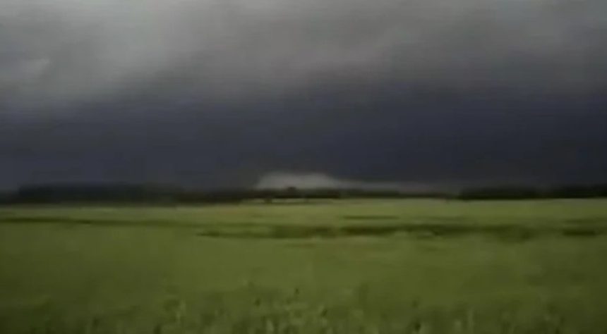
The forecast paints a grim picture for much of central and eastern England, with Nottinghamshire right in the firing line.
The update released Friday reads: “Areas of heavy rain with embedded thunderstorms will move northwestwards across a large swathe of central and eastern England through Friday night into Saturday.
Rain will likely be torrential in places, bringing 20-30 mm in less than an hour, with 60-90 mm in 2-3 hours possible in a few places.
“Whilst more widespread heavy rain will gradually clear northwestwards during Saturday, additional scattered heavy showers and thunderstorms may develop in its wake during Saturday afternoon and early evening, before eventually decaying later.”
That means residents could be in for a rough 24 hours. Sudden downpours. Dangerous driving conditions. Localised flooding. It’s not just another soggy weekend — it’s a real risk.
Commuters and those with weekend plans are being urged to stay weather-aware. Roads may quickly become hazardous, and there’s a possibility of disruption to rail services and power supplies.
The storm cells are unpredictable. While some areas may dodge the worst, others could see flash flooding within hours. Emergency services are on standby, and the public is being advised to take precautions where possible.
Stay updated. Check in with local alerts. If you’re heading out, be prepared.
As always, the British weather keeps everyone on their toes. But with this severe thunderstorm warning, the message is clear: it’s better to be safe than sorry.