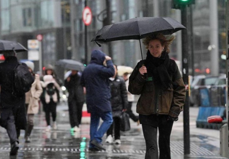
A streak of late sunshine has brightened spirits across the country, but forecasters warn that change is coming. After a short spell of calm, the UK weather is preparing to turn wetter and greyer as rain pushes in from the Atlantic this weekend.
The Met Office says the next 72 hours will see a sharp shift from mild midweek sunshine to widespread rainfall, with unsettled conditions stretching across much of Britain by Sunday.
For now, the midweek picture remains pleasant. Temperatures hover around 17–18°C, near the seasonal norm, with long spells of sunshine lifting the early autumn mood.
But the calm will not last. Clouds are already gathering to the west, signaling a fresh Atlantic front on the move.
According to the Met Office, “Rain is set to arrive from the west on Friday night, then move slowly east across Saturday and Sunday. The signal points to a wet weekend rather than a brief passing shower.”
Hurricane Gabrielle
Rumors of a tropical storm heading for British shores are misplaced. The forecaster has confirmed that Hurricane Gabrielle, the much-discussed Atlantic system, is not responsible for the incoming rain.
“The tropical system dubbed Hurricane Gabrielle will not drive the UK rainfall. It’s leftovers track well to the south, skirting the Azores before arcing towards the Bay of Biscay,” the Met Office explained.
Still, Gabrielle’s fading energy may tug subtly on the wider weather pattern, altering the position and pace of the rain band.
In practical terms, that means the timing of showers could shift by several hours, depending on where you are in the country.
The Weekend Forecast at a Glance
- Wednesday: Dry, bright, and comfortably mild nationwide.
- Thursday: Another fine day; cloud thickening from the west by evening.
- Friday: Dry start for most, turning damp in western regions overnight.
- Saturday: Rain spreads eastwards, bringing mist, drizzle, and low cloud.
- Sunday: Patchy rain continues, easing in places before clearing later.
Expect the first drops to fall across Cornwall, Pembrokeshire, and the western Isles late Friday. By Saturday, the rain should have reached the Midlands and southern England, with northern and eastern areas turning wetter into Sunday.
Even from a distance, Gabrielle’s remnants could tweak the jet stream and slow the approach of Atlantic fronts. Meteorologists often describe this as a “drag effect”, a decaying storm feeding moisture and warmth into the upper atmosphere.
The result? Rain that lingers. Not violent downpours, but persistent, steady showers that soak rather than splash.
What does it mean for Your Weekend?
Out-of-door plans might need a rethink. Events and matches could face delays on doused pitches, and hillwalkers should brace for low pall and slick trails.
Motorists are prompted to allow redundant time as spray and face water make roads slippery, especially after recent dry spells.
Commuters and event organizers should prepare for slower trips and sloppy setups. Gardeners, on the other hand, can drink the top-up, as fields and meadows have been thirsty in recent weeks.
Western beachfronts and highland areas, including the corridor of Wales, Cumbria, and the Scottish mounds, will bear the mass, while eastern counties see a delayed appearance but potentially prolonged rain once it begins.
This pattern fits a classic late-September transition. The UK frequently swings between stable high pressure and wet Atlantic air at this time of year, bringing cooler nights and breezy, rain-prone days.
Sea temperatures remain mild, softening the edge of the afterlife bite, particularly near the seacoast.
Once this anterior system clears, the UK may see another brief dry intermission next week. But for now, screens and oilskins are the smarter choice.
In short, enjoy the sun while it lasts. From late Friday onwards, the UK rainfall turns wet, the sun fades, and the afterlife truly begins to show its hand.


