
Heatwave Alert: South-East England Braced for 32C Blast Next Week
England is gearing up for yet another surge of hot weather, with forecasters warning of a searing heatwave hitting from Monday, 26 August. Temperatures could rocket to 32C in parts of the south-east, according to WXCharts.
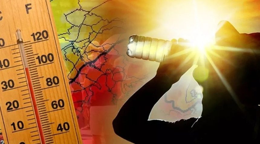
This comes as the Met Office confirms the UK is experiencing one of its hottest summers in recorded history.
A Record-Breaking Summer So Far
From June to mid-August, Britain has sweltered. Average temperatures have climbed to 16.2 °C, which is 1.6 °C higher than the usual seasonal norm.
Four separate heatwaves have already been logged. The year’s current peak scorcher? 35.8 °C in Faversham, Kent.
- June went down as England’s warmest on record.
- Wales recorded its third-warmest June.
- The UK as a whole marked its second-warmest June.
- July didn’t cool much either, ranking as the fifth hottest July ever.
Met Office experts point to several drivers:
- Persistent high-pressure systems keep skies clear.
- Dry spring soils cut cooling from evaporation.
- A marine heatwave around British waters is lifting air temperatures.
And, of course, climate change. The UK is heating up at around 0.25 °C every decade.
Where the Heat Will Hit Hardest?
Forecasters say the spike will feel most intense in:
- Cambridgeshire, Lincolnshire, Norfolk, Essex, Kent – sizzling at 32C.
- Suffolk, London, Hampshire, Berkshire, Buckinghamshire, Bedfordshire – close behind at 31C.
- Northamptonshire, Oxfordshire, Sussex, Surrey – expected highs of 30C.
Further north and west, places like Durham, Birmingham, and Dorset will sit in the 25C–29C range.
Elsewhere, temperatures will hover between 17C and 24C.
What does the Met Office say?
The Met Office cautioned against pinning forecasts too firmly:
“The majority of this period comes with lower than average confidence, even accounting for the long range. This is due to large uncertainties surrounding the behaviour of ex-hurricane Erin at the beginning of the forecast and its subsequent impact on the large-scale weather pattern over the UK.
“Probably beginning fine for the vast majority of areas, but a band of rain, already in or threatening the west, is likely to move slowly east, perhaps preceded by showers in the south.
“More changeable weather is likely thereafter, possibly even at times unsettled, with more in the way of rain, showers and stronger winds than recently.
“Starting off warm, especially in the south and east, but temperatures are likely to dip nearer to average for most of the rest of the period.”
While many will welcome barbecue weather, experts stress this isn’t simply a sunny streak. Meteorologists say Britain’s climate is shifting, and the succession of heatwaves is a stark reminder of how warming seas and human-driven climate change are reshaping the nation’s summers.