The UK’s prolonged dry spell may soon be interrupted as Hurricane Erin, now upgraded to a category four storm churns over the Atlantic, threatening to send disruptive weather our way.
While currently posing a direct threat to the Caribbean and the eastern US coast, the hurricane’s impact could be felt much further afield.
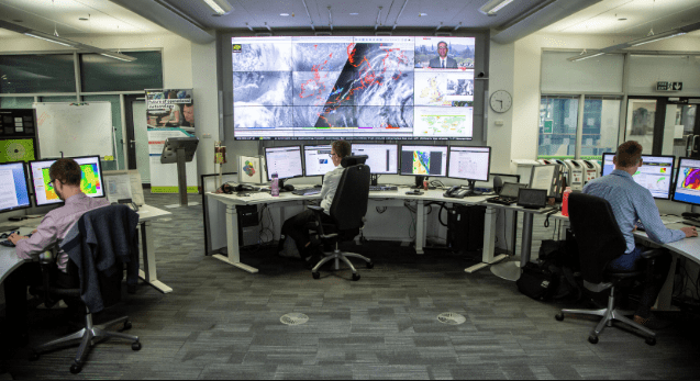
According to the Met Office, the atmospheric turbulence Erin is generating could bring a notable shift in the UK’s weather over the coming days, especially across the North and West.
“It’s likely to push its way across the Atlantic,” explained Alex Burkill from the Met Office, referring to Erin’s potential trajectory after skirting the eastern flank of Canada.
Brits soaking up the late summer sun may want to keep an umbrella handy. Forecasts suggest that Hurricane Erin could bring a sharp end to the dry spell, with the potential for 600-mile-wide storms to sweep across the country.
Independent weather experts predict that from Wednesday, 27 August, the UK could experience widespread rainfall stretching up to 600 miles. While downpours are not expected to be extreme, they could peak at 5mm an hour in some areas, with most regions seeing lighter rainfall between 0.2mm and 3mm per hour.
Despite this, the Met Office remains cautious. It stated that while the likelihood of stormy, wet, and windy conditions is “small”, the current forecast is “highly uncertain”.
The root of this unpredictability lies in a low-pressure system being pushed towards the UK by Hurricane Erin. While high pressure is keeping things dry and settled for now—perfect for the bank holiday weekend—it is expected to be gradually “eroded” by Erin’s influence moving in from the West.
“This can really play havoc with the forecast confidence for what’s going to happen as we go through next week,” said Burkill.
Meteorologists agree that the picture will become clearer in the coming days. For now, most of the UK can expect to hold onto warm and largely dry weather. Temperatures could climb to 27°C on Monday and Tuesday, though a northeasterly breeze will keep eastern and northern parts slightly cooler, hovering in the low 20s.
The UK isn’t just sweating about storms. This summer is rapidly shaping up to be one for the record books.
“It’s looking like this summer is on track to be one of the warmest, if not ‘the’ warmest, since the series began in 1884.
What’s striking is the consistency of the warmth. June and July were both well above average, and even outside of heatwaves, temperatures have remained on the warmer side,” noted Met Office scientist Emily Carlisle.
Back-to-back heatwaves and persistently high temperatures have dominated the season, with parts of Somerset reaching 27.7°C on Sunday. West Sussex and Inverness weren’t far behind, also clocking in at 27°C.
The relentless dry stretch continues to fuel concern. Officials have warned of “nationally significant” water shortages in parts of England, a problem that brief rainfalls in July have done little to ease.
As we head into the final weeks of summer, all eyes remain on Hurricane Erin and its unpredictable path. Whether it delivers much-needed rain—or wreaks weather chaos—remains to be seen.