
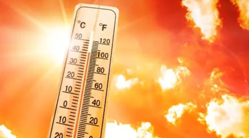
UK Temperatures Soar: Three-Day Heatwave to Roast Britain with Over 30 °C Heat
UK temperatures are set to rocket past the 30 °C mark as the country braces for a fierce three-day heatwave, and it’s coming fast.
After weeks of unpredictable weather, think gusty winds, sudden showers, and the odd sunny break, the nation could soon be swapping brollies for beach towels. Forecasts now show that from August 5 to August 7, the UK will be hit by a blast of intense summer heat, with certain regions reaching as high as 32C.
The latest weather models from WXCharts show the heat kicking off on Monday, August 5. That’s when things start cooking in the southeast. London, Surrey, Kent, and Southampton will be among the first to feel the burn.
By early evening, it could hit a sweltering 32C between Maidstone and Canterbury, Kent, looking like the first hotspot in line.
Then comes Tuesday, August 6. The warm front edges southwest. Places like Hampshire, Wiltshire, Bath, Swindon, and Bristol are forecast to roast under 30 °C skies. Expect peak heat around sunset. Golden hour will feel extra golden.
The hot streak doesn’t stop there. Wednesday, August 7, is expected to be just as intense, if not hotter. Predictions show temperatures reaching 31 °C in a wide belt across central and southern England.
Cities including Birmingham, Oxford, Cambridge, Chelmsford, Luton, and Northampton are firmly in the heatwave zone. The Cotswolds and areas around Bath and Bristol might match the highs, with London and Kent continuing their steamy stretch just over the 30 °C mark.
With three consecutive days of sizzling highs across multiple regions, this bout of weather could officially be classified as a UK heatwave.
This latest turn is a dramatic shift from the dreary start to the month. Many parts of the UK, especially in the south, have been stuck under a patchwork of wind, rain, and only brief glimpses of sunshine.
The Met Office has commented on the upcoming pattern: “Later in the period if high pressure builds into the southwest, settled weather may develop there too.
It will be breezy at times, especially in further north. Temperatures are most likely to be near to average or slightly above average for the time of year.”
Their long-range forecast also hints at more warm spells ahead: “Whilst spells of rain or showers mixed in with some drier, brighter days will probably continue at first, dry and settled weather becomes more likely as we head further into August. Temperatures will likely be near or above average overall.”
And perhaps the most eye-catching bit? “There is a chance of some very warm or hot spells developing later in August if high pressure wins out for a decent stretch of time, especially in the south and east.”
So, is summer finally showing its face? All signs point to yes, at least for three scorching days. Time to dig out the sunscreen. And maybe a fan. Or three.
Stay tuned for updates as this weather system develops.