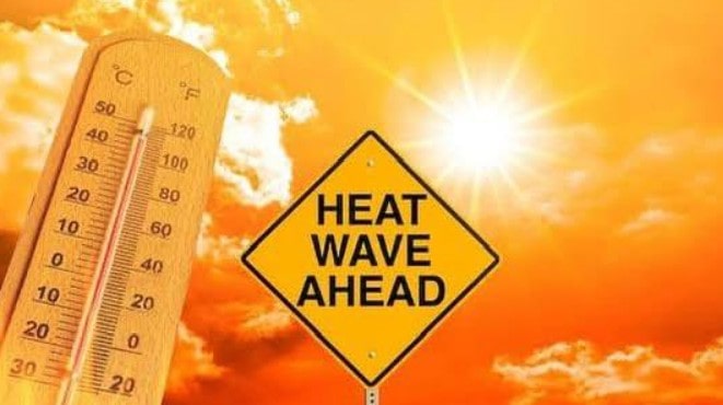
UK Weather Heatwave: Sizzling Temperatures to Return After Storm Floris Strikes
Following the turbulent arrival of Storm Floris, forecasters are now warning of a scorching comeback. Yes, another UK weather heatwave is on the way. It’s the fourth one this summer, and it’s expected to make up for the stormy chaos set to hit the northern half of the country.
Before the warmth kicks in, Monday and early Tuesday look rough. Storm Floris will unleash powerful winds and lashing rain across northern regions.
“Across the warning area, many inland areas are likely to see gusts of 40-50mph, with 60-70mph more likely at higher elevations and around exposed coasts in Scotland.
There is a small chance that some locations here could even record gusts of 85mph,” warned Matthew Lehnert, Met Office Chief Meteorologist.
The storm, expected to cause widespread disruption, will bring winds of up to 85mph across parts of the UK, particularly in Scotland and coastal regions.
Once the storm clears, the nation can start preparing for soaring temperatures and sunny spells.
From August 13 onwards, the UK’s weather map flips dramatically. Cooler days and showers will fade, as warm air surges in from the south. The Met Office anticipates a shift to high pressure, bringing in dry, settled conditions across much of the country.
“High pressure, and therefore fairly settled conditions overall, appear most likely for the second half of August, though the northwest may see more in the way of occasional rain or showers than other areas,” an official update confirmed.
“For most, predominantly dry weather is likely to continue, although short periods of showers and thunderstorms cannot be ruled out.”
And yes, temperatures are expected to spike again. “Above average temperatures overall seem most likely, with the potential for hot spells to develop, especially in the east and south. These are more probable further into August.”
The heat will begin to build in Kent, expected to hit a toasty 30°C by 6pm on August 13. London, Norfolk, and Suffolk will closely follow with highs of 29°C.
The West won’t be left behind, Gloucestershire and Somerset can expect up to 28°C, while the Midlands and Devon will see around 26-27°C.
Come August 14, things get even hotter. The southeast is forecast to roast at 33°C. London and the Home Counties will likely be the hottest areas in the country. The southwest won’t be far off, with widespread temperatures touching 29°C.
Other parts of England aren’t being spared either. Birmingham will sweat through 30°C, Cardiff looks set for 29°C, and Manchester will be warm at 27°C. Northern England and Scotland will stay cooler, with highs up to 22°C, but still well above average for the region.
So, what exactly defines a UK heatwave? “A UK heatwave threshold is met when a location records at least three consecutive days with daily maximum temperatures meeting or exceeding the heatwave temperature threshold,” the Met Office previously explained.
Looks like we’re in for another round. Fans on. Sunscreen ready. The great British summer is back, loud, proud, and hotter than ever.