
Britain is entering another disruptive weather phase as UK weather warnings turn from snow and ice to the growing threat of flooding.
A burst of much milder Atlantic air is forecast to sweep across the country, rapidly melting thick snow left behind by Storm Goretti.
Forecasters say the speed of the temperature rise, combined with incoming rain, could cause localised flooding just days after communities struggled through freezing conditions, blizzards, and travel chaos.
What is driving the new flood risk across the UK?
The danger lies in how quickly conditions are changing.
After a prolonged cold spell, parts of the UK are expected to see temperatures rise into double figures, in some cases jumping more than 15°C compared with last week.
Snow that built up over several days is now likely to melt in a short space of time.
When thawing snow mixes with rainfall, it places extra pressure on rivers, drains, and ground that is already saturated.
Jim Dale, meteorologist at British Weather Services, warned that the switch in hazards could catch people off guard: “As milder air moves in, it also brings rain, which raises the likelihood of flash flooding.
Large amounts of snow will melt quickly, particularly in areas that have seen heavy accumulations.”
Which areas are expected to be most affected?
Flood concerns are greatest in regions that experienced the harshest wintry conditions, including:
- Scotland, especially higher ground such as the Grampians
- Wales
- The Midlands
- The North East of England
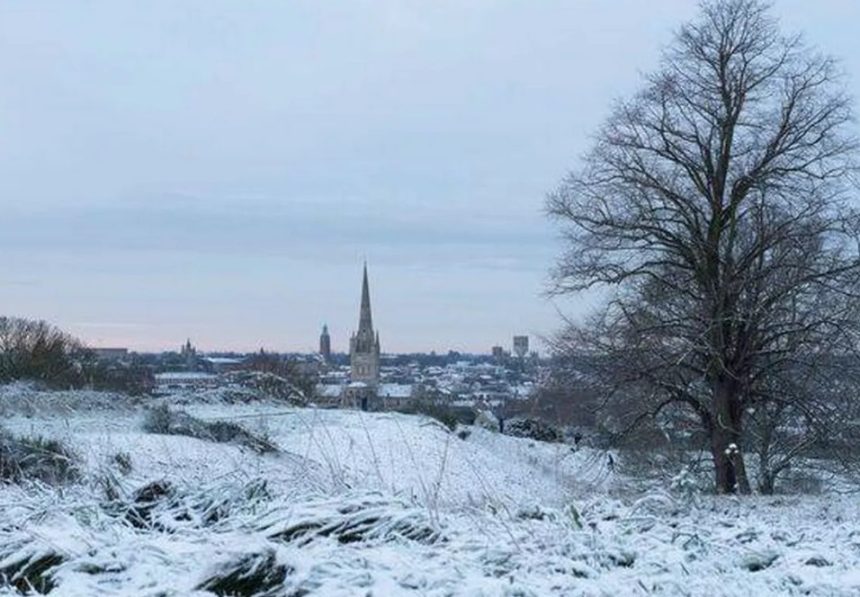
In some rural and upland locations, snowdrifts reached around two feet deep, creating a significant volume of meltwater once temperatures rise.
Further south, the Environment Agency has confirmed that flood alerts and warnings are active across parts of central and southern England as rain spreads eastwards.
An agency spokesperson said: “Flooding could affect cellars and low-lying properties. Roads may flood or suffer damage, and heavy rainfall could lead to surface water issues.”
How did Storm Goretti leave the UK so exposed?
Storm Goretti capped off a severe week of unsettled UK weather, bringing multiple hazards in quick succession.
The storm period included:
- Widespread snowfall across England, Wales, and Scotland
- Strong and gusty winds in northern regions
- Several nights of sub-zero temperatures
Although official snow warnings from the Met Office are now expiring, additional snowfall was recorded only recently, adding to the depth of snow that is now beginning to thaw.

Wind and rain warnings remain in force for north-west Scotland until mid-morning, highlighting the shift from winter travel risks to water-related impacts.
How warm is it expected to become this week?
The Met Office says a noticeable temperature lift is already underway.
Current forecasts suggest:
- Daytime highs of 10°C to 11°C in some areas early this week
- The thaw begins from Sunday night onwards
- Rainfall coinciding with peak snow melt
Met Office meteorologist Aidan McGivern explained the scale of the change: “There is a significant thaw starting overnight, and there is a lot of snow on the ground.
Much of it will melt quickly, and when that combines with rain, there could be some problems.”
Could cold weather and snow return again?
Despite the milder outlook, forecasters stress that winter is not finished yet.
Weather models continue to disagree over how firmly mild air will take hold. While Atlantic systems are expected to push in, colder Arctic air remains close, particularly over eastern and central Britain.
Met Office meteorologist Alex Deakin described the uncertainty: “Some forecasts keep colder air nearby while milder air pushes in from the west. That ongoing battle could mean temperatures fluctuate through the week.”
This means some areas could still see further snow if colder air temporarily regains control.