Exact Date 37C Heatwave Could Hit the UK in August – 32 Counties on Alert
A searing heatwave could be heading for the UK in mid-August, with weather models indicating temperatures could soar to a blistering 37C in certain regions.
Forecasts from WX Charts suggest the mercury will begin climbing from Friday, August 15, peaking on Saturday, August 16. If the heat lingers through Sunday, the 17th, and Monday, the 18th, the country could officially breach heatwave conditions.
Maps highlight the Midlands as the focal point of the incoming hot spell, though the heat is expected to spread widely. 32 counties are in the line of fire, including major parts of central and southern England.
The regions bracing for the intense warmth include Lancashire, Cheshire, Greater Manchester, Staffordshire, the West Midlands, Warwickshire, Worcestershire, Shropshire, Herefordshire, Northamptonshire, Leicestershire, Derbyshire, Nottinghamshire, and Rutland.
Further south, the heat extends into Cambridgeshire, Bedfordshire, Oxfordshire, Suffolk, Essex, Surrey, Berkshire, Wiltshire, Gloucestershire, Devon, Dorset, Sussex, Greater London, Hertfordshire, Somerset, Hampshire, and the Isle of Wight.
The Met Office, in its long-range forecast for August 10 to August 19, cautions: “The start of this period may bring some strong winds and rain to the north of the UK before an Atlantic weather system erratically crosses all parts.
Ahead of this, potential for some very warm and humid weather to affect parts of the south and east in particular. Looking towards mid-August, high pressure is more likely to dominate the weather across the UK.
This will bring plenty of dry weather for the most part, though northern areas may see a rather more changeable theme with occasional rain or showers and breezier conditions at times.
Above average temperatures are more likely than not, especially in the south, where it could also be rather humid.”
Looking further ahead, conditions may remain warm even into early September. The Met Office outlook for August 20 through to the start of next month reads: “High pressure, and therefore largely settled conditions overall, appears more likely for the second half of August.
Although dry weather is likely to dominate, periods of rain or showers and thunderstorms may develop at times.
Above average temperatures overall seem most likely, with the potential for hot spells to develop, especially in the east and south.
By early September, there are signals for high pressure to become less dominant with perhaps a greater chance of some rain, though there is some uncertainty in this aspect of the forecast.”
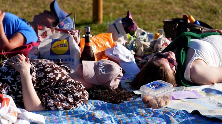
While northern areas may face more unsettled weather, the south and east could find themselves basking under intense summer sunshine. Expect humid nights and scorching days.
So far, 2025 has delivered erratic weather, but this stretch might just be the hottest one yet.
Prepare for the heat. Hydrate, stay cool, and watch for further updates as this UK-based heatwave looms closer.