
The United Kingdom is set for a transition to more settled, albeit cooler, conditions this weekend, Saturday 18 April to Sunday 19 April 2026.
After a period of unsettled Atlantic influence, a ridge of high pressure is beginning to exert its presence, steering the country toward a drier and brighter outlook.
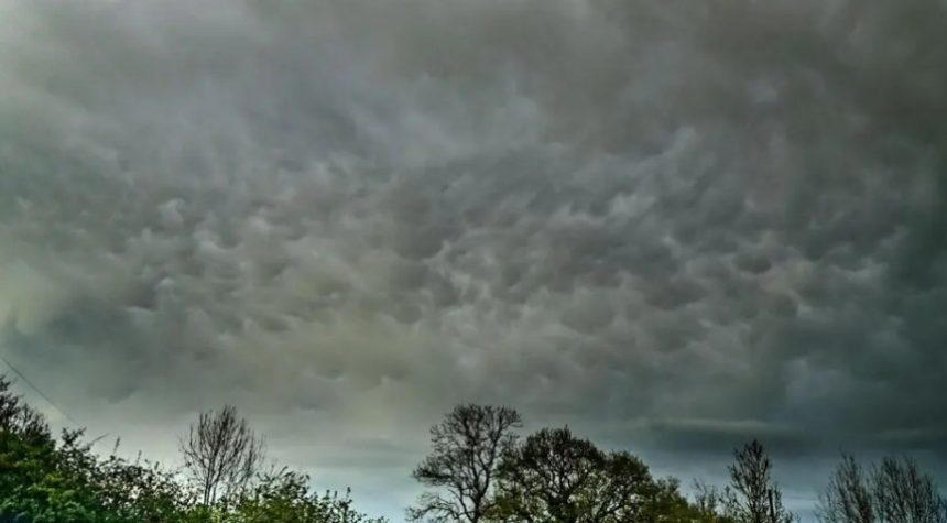
While northern regions remain susceptible to lingering showers and a risk of hail today, the broader picture for the British Isles is one of improving visibility and crisp spring sunshine.
However, meteorologists are warning of a significant temperature drop overnight, with frost likely to affect rural areas and gardeners across the country.
What is the Current National Outlook?
The atmospheric pattern over the UK is finally shifting as the jet stream moves toward a more typical early-spring position. High pressure is building from the south and west, limiting the influence of the rain-heavy weather fronts that dominated earlier in the month.
Today, Saturday 18 April, the weather remains a “mixed bag.” Northern Scotland and parts of Northern Ireland are seeing a continuation of the showery regime, with some cells becoming heavy and carrying a risk of hail.
Early rain clearing the far southeast on Saturday morning followed by sunny spells 😎
Showers in the north, still on the heavy side and sinking southwards 🌦️ pic.twitter.com/5MMc4u733O
— Met Office (@metoffice) April 17, 2026
Conversely, southern England and the Midlands are enjoying the lion’s share of the brightness. While a few isolated showers may bubble up in Wales and central England during the afternoon, they are expected to be fleeting.
Which Regions are Seeing the Most Impact?
The impact of this weekend’s weather varies significantly by latitude and proximity to the coast:
We’ve still got a few showers in the mix tomorrow 🌦️ pic.twitter.com/zZATT7zjrI
— Met Office (@metoffice) April 17, 2026
- Northern Scotland & Highlands: Frequent showers, some heavy with hail. Wintry precipitation is possible over the highest peaks as temperatures struggle to reach 8°C.
- Northern England & The Pennines: Cities like Newcastle and Leeds will see sunny intervals interrupted by brisk showers.
- The Midlands & Wales: Areas including Birmingham and Cardiff will see cloud “bubbling up” in the afternoon, but it will remain largely dry and pleasant in the sun.
- London & South East: The “sweet spot” for the weekend. Temperatures here could reach 17°C to 19°C on Saturday afternoon, making it feel properly like spring. If you are planning to visit the capital, ensure you check for any TfL tube strike updates, as travel disruption often coincides with peak weekend footfall.
- Coastal Areas: High spring tides have triggered flood alerts for North Morecambe Bay and the Somerset coast at Porlock Weir.
What Do the Experts Say?
The Met Office has highlighted that while the weekend will feel “pleasant in any sunshine,” the underlying air mass remains cool. Chief meteorologists suggest that the “stop-start feel” to April is typical for the season.
The Environment Agency has issued a handful of localized flood alerts: “High tides today may lead to flooding of coastal roads and footpaths. Groundwater flooding also remains a possibility in the Alton and Great Shefford areas due to high water tables.”
Health authorities have also issued reminders regarding the UV Index, which is reaching Level 4 (Moderate) this weekend. Despite the cool breeze, the mid-April sun is strong enough to cause sunburn during prolonged outdoor exposure.
How Will This Affect Your Weekend Plans?
The shift to drier weather provides a welcome reprieve for the UK’s transport network, though the cold snap poses specific challenges:
- Road & Rail: Improved visibility will benefit travelers on the M1, M6, and M25. However, motorists traveling early on Sunday should be wary of isolated “black ice” or frost patches in northern rural areas.
- Gardeners’ Alert: The National Farmers’ Union (NFU) and horticultural experts advise that tonight will be significantly colder. With many spring blooms emerging, a sharp ground frost (dipping to -2°C in rural spots) could damage sensitive plants.
- Public Events: With most areas remaining dry, outdoor events, from grassroots football to local markets, are expected to see high footfall.
What is the Long-Range Forecast?
Looking ahead to Sunday, 19 April, the UK will wake up to a chilly but bright start. The “bubbling cloud” pattern will continue, particularly in the north and east, where the odd light shower remains possible.
The outlook for the following week suggests a “battleground” scenario. High pressure to the south will attempt to ward off Atlantic fronts.
While temperatures are expected to sit around the seasonal average of 13°C, any northerly wind shifts could bring further cooler interludes before a more unsettled, south-westerly pattern re-establishes itself toward the end of the month.