
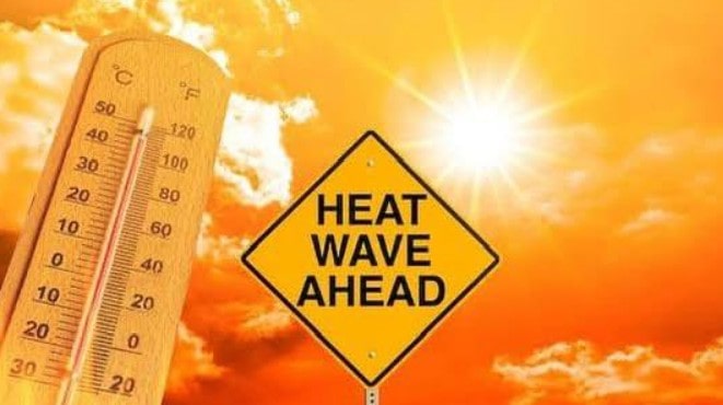
The UK’s fourth heatwave of the summer is pushing temperatures to sizzling highs — but a change in the weather is brewing, with thunderstorms now forecast.
Parts of England could see the mercury touch 34°C today, the hottest spell yet this August, while an amber heat health alert remains in force for the West Midlands, East Midlands, South East, London and East of England until 6pm Wednesday. Most other regions are under yellow alerts.
Now, the Met Office has added another caution a yellow thunderstorm warning. It covers most of Scotland and Northern Ireland from midnight until 10pm on Thursday, with forecasters predicting “heavy showers and thunderstorms.”
On Tuesday, temperatures hit 33.4°C in Benson, Oxfordshire, Ross-on-Wye in Herefordshire, and Northolt in west London. Wednesday could be even hotter, before cooler though still warm conditions move in on Thursday.
Met Office meteorologist Greg Dewhurst told The Independent: “The heatwave is looking likely to last the rest of the week.” He added, “Beyond that, it should be a bit cooler.”
The peak of the heat is expected between Tuesday and Wednesday, with a slow dip towards the weekend. But Mr Dewhurst warned that above-average warmth could linger well into September.
Highs will come with a risk of downpours. Met Office chief meteorologist Dan Suri explained: “Wednesday brings a more complex picture, with high temperatures but also the chance of thunderstorms arriving in the evening, across northern areas, with the potential for some fairly wet weather.
Whilst the exact location for these unsettled conditions remains uncertain, it’s possible a warning may be issued closer to the time.”
By Thursday, the north may again see thundery rain, while the southwest could get showers or storms into the weekend.
Marco Petagna from the Met Office added:
- Wednesday: Mostly dry, very warm or hot sunshine, but with showers in the South East and Scotland, some heavy and thundery. Highs of 33–34°C in Lincolnshire and Yorkshire.
- Thursday: Showers in the north, not quite as hot, but still up to 30°C in East and South East England.
- Friday: Very hot sunshine in the south and South East, with highs of 31°C. Scotland to see low 20s.
The UK’s hottest August day remains 38.5°C in Faversham, Kent, set on 10 August 2003. The hottest day so far this year was 35.8°C, also in Faversham, on 1 July.
Forecasters say August will likely stay “largely dry and settled”, especially in the south, despite occasional cooler winds on the eastern coast. “But I wouldn’t write off summer just yet,” said Mr Dewhurst.
The UK Health Security Agency and Met Office issued their latest heat warnings on Tuesday.
Dr Paul Coleman from UKHSA urged caution: “These kind of temperatures can result in serious health outcomes across the population, particularly in those who are vulnerable, such as the elderly or those with serious health conditions, so it is important that everyone takes sensible precautions while enjoying the sun.”
Despite some rain in July, England is still facing “nationally significant” water shortfalls. The national drought group says five regions remain in drought, with six more in prolonged dry weather status. The lack of water is hitting crops, livestock feed, wetlands, river wildlife, and increasing wildfire risks.
This intense burst of heat may be the summer’s last major scorcher but the mix of soaring sunshine and sudden storms could make it a dramatic finale.