
The British Isles are currently navigating a significant atmospheric shift as the “unsettled” pattern that defined early March begins to give way to a southerly airflow.
For Monday 16 March and Tuesday 17 March 2026, the UK weather forecast indicates a national transition: moving from cloudy, rain-lashed conditions toward a “heat surge” that could see temperatures in the home counties soar to 18°C or 19°C by mid-week.
Following an exceptionally wet February where parts of England, including Worcestershire and Leicestershire, recorded over 170% of their average rainfall, the current drying trend is a critical development.
While a north-south divide persists, the broader outlook for the UK is one of increasing warmth and emerging spring sunshine.
How is the Weather Developing Across the UK Today?
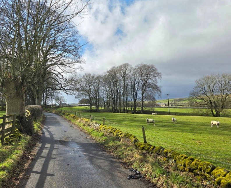
On Monday, 16 March, the UK remains under a blanket of thick cloud and breezy conditions.
A frontal system has been steadily tracking eastwards, bringing persistent rain to much of Northern Ireland, Scotland, and Northern England. While the far south has remained largely dry, it has been a grey start for the majority.
The Met Office confirms that this rain is clearing into the North Sea tonight. However, western-facing hills, particularly in the Lake District, Snowdonia/Eryri, and the Pennines, will continue to see outbreaks of drizzle and low-level mist.
A chilly but bright start to Monday, though some showers are likely 🌦️
Cloud will thicken from the west as the morning goes on, with rain arriving in Northern Ireland and pushing into the western fringes of Great Britain later 🌧️ pic.twitter.com/2fHdzUZDHi
— Met Office (@metoffice) March 15, 2026
Despite the dampness, temperatures are holding above freezing, with most urban areas seeing lows of 7°C to 9°C overnight.
Which Areas Are Facing the Biggest Changes on Tuesday?
By Tuesday, 17 March, the weather story shifts toward clearance and warming.
- England and Wales: Most regions will see a “gradual brightening” through the day. As the cloud thins, southern and eastern counties will experience the first real taste of spring, with temperatures climbing to 15°C in London and Cardiff.
- The North and Scotland: The transition is slower here. While Manchester and Leeds may see afternoon sun, Scotland and the Highlands will likely remain cloudy with further patchy rain as the tail end of the Atlantic front lingers.
- Transport Hubs: Major routes like the M25, M6, and A1(M) are expected to have good visibility by Tuesday afternoon, though commuters in Scotland should prepare for spray on the A9 and M8.
What Are the Official Warnings and Expert Assessments?
Despite the drier forecast, the Environment Agency remains on high alert due to saturated ground levels. As of this morning, several Groundwater Flood Warnings are active in Southern England.
“Groundwater levels in the Piddle Valley, Wylye Valley, and Dorset remain at near-record highs for March,” an Environment Agency spokesperson noted.
“Even with the warmer, drier forecast, these systems respond slowly, and the risk of flooding in cellars and on low-lying roads remains significant.”
Additionally, Met Office meteorologists have highlighted a “huge heat surge” potential. Clare Nasir has indicated that as a ridge of high pressure establishes itself by Wednesday and Thursday, “top temperatures” in the home counties could hit 19°C, nearly double the March average of 10°C.
How Will This Shift Affect Commuters and Businesses?
The transition to warmer weather brings a mix of relief and logistical considerations for the UK public:
1. Energy and Domestic Impact
The predicted rise in temperatures is expected to lead to a noticeable drop in national gas and electricity demand. With highs of 18°C possible, many households will likely be able to turn off heating systems that have been running consistently since January.
2. Rail and Road Networks
National Rail and Transport for London (TfL) are monitoring track temperatures, though the current forecast remains well within safety thresholds.
The primary concern for drivers on Tuesday morning will be patchy fog and mist in rural areas of the Midlands and East Anglia as the damp ground meets slightly clearer skies.
3. Public Health
While the warmth is welcome, the NHS and Defra monitor air quality during such transitions. A southerly flow can occasionally bring Saharan dust or increased pollen counts, which may affect those with hay fever or respiratory sensitivities earlier than usual this year.
What Happens Next: Is a 20°C Heatwave Incoming?
The long-range trend suggests that the middle of the week (18–19 March) will be the peak of this mild spell.
| Region | Wed 18 March High | Thu 19 March High | Condition |
| London & Southeast | 18°C | 19°C | Sunny Spells |
| East Midlands | 17°C | 18°C | Mostly Dry |
| Northern Ireland | 13°C | 12°C | Cloudy |
| North West England | 15°C | 14°C | Brighter |
However, the Met Office 10-Day Trend warns that this “mini-heatwave” may be short-lived. By the weekend of 21–22 March, there are signals that high pressure may slide east, allowing cooler, more “changeable” Atlantic weather to return.