
UK Thunderstorm: Nation on Alert as Flood Warnings Intensify
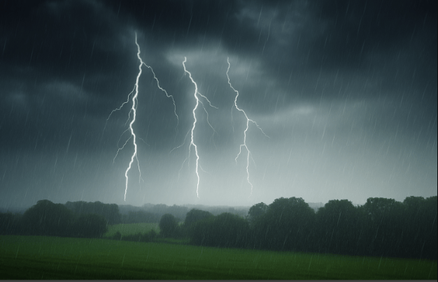
The UK is on high alert this weekend as thunderstorms sweep across the nation, bringing a real threat of flooding, power outages, and travel chaos.
The Met Office has ramped up its warnings, extending yellow alerts across vast swathes of the country. From south-west England to Northern Ireland and up into Scotland, the message is clear: brace yourselves. Conditions may rapidly deteriorate.
Four yellow warnings are now active from 6pm Saturday through to 9pm Sunday, highlighting the risk of heavy rainfall, flooding, and disruption to transport and infrastructure.
“There is a slight chance of power cuts and a loss of other services to some homes and businesses,” the Met Office warned. “This weekend is expected to be busy on the roads as more schools in England and Wales break up for the summer holidays, so it’s important people keep up-to-date with the very latest forecast.”
The potential dangers aren’t minor. Some parts of the UK – particularly Cornwall, south-west Wales, and central and eastern England – could see up to 75mm of rain in just a few hours. That’s enough to cause fast-flowing floodwater, posing a “danger to life.”
And it doesn’t stop there.
The Environment Agency has issued 27 flood alerts across England, with surface water flooding possible in many areas on Saturday. River flooding could also strike, especially in the south-west, from Sunday into Monday.
Meanwhile, Scotland isn’t being spared, with 16 flood alerts rolled out by SEPA (Scottish Environment Protection Agency). Downpours and thunderstorms are expected to move in from the south, bringing persistent, potentially intense rain to elevated terrain.
“The intense rainfall could lead to surface water flooding as well as frequent lightning and hail too,” said Andy Page, Chief Meteorologist at the Met Office. “The situation is evolving, and warnings may be changed or added.”
Weather Snapshot by Region:
- South-West England: Up to 50mm of rain possible in a few hours, with the chance of thunderstorms from Saturday afternoon.
- Central & East England: Some areas may see 30mm of rain in under an hour. Expect downpours and stormy bursts.
- Northern Ireland: Storms brewing from Derry to Tyrone, with up to 20mm of rain falling rapidly in places.
- Scotland: Heavy rain and isolated thunderstorms are expected to hit from the south. High ground could receive 75mm of rainfall quickly.
While the weather is unsettled, brief windows of sunshine are expected between the storms – a small relief for anyone hoping for a break in the gloom.
Temperatures will still feel summery, with highs in the upper 20s °C through the weekend before things cool slightly next week.
As the weekend begins, Brits are urged to remain vigilant, keep travel plans flexible, and follow updates from the Met Office and flood agencies.
One thing’s for sure – the UK thunderstorms aren’t going anywhere just yet. Stay dry, stay safe, and keep one eye on the sky.