
The Met Office weather forecast has warned that parts of the UK could see snow before Friday as unsettled conditions continue across the country.
Forecasters say Thursday, February 5, will bring widespread cloud and rain, with snow most likely on higher ground in the north.
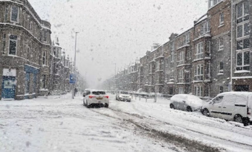
The update matters because even light snowfall can lead to icy roads, travel delays, and dangerous driving conditions, especially in upland regions.
Which UK areas could see snow before Friday?
The Met Office has confirmed that snow is most likely to affect higher ground, with the greatest risk focused in the northern parts of the UK.
The main areas highlighted include the hills and upland regions, particularly across northern England, as well as other northern high ground where temperatures drop low enough for rain to turn wintry.
Why is snow expected in these parts of the UK?
Snow is expected because colder air is sitting over the north while rain bands push in from the Atlantic. When these wetter systems reach higher elevations, the colder conditions allow precipitation to fall as snow rather than rain.
Forecasters have also warned that strong winds could make conditions feel colder, increasing the chance of frost and ice overnight.
What does the Met Office say about Thursday night?
The Met Office says Thursday night will remain mostly cloudy, with further rain spreading across many areas. Snow is expected mainly on hills, especially in northern regions, while southern parts of the UK remain milder.
Cold winds in the north may also lead to higher overnight temperatures, raising the risk of icy patches early Friday morning.
What will Friday’s weather look like?
Friday is expected to stay unsettled, with rain affecting most areas and snow continuing across northern hills. Winds will also remain noticeable, although the northwest may see brighter spells during the day.
Further heavy showers could develop later, especially in the southwest.
Will snow and ice continue into the weekend?
Yes. The Met Office says the unsettled pattern is likely to continue into the weekend, bringing more rain at times, some of it heavy.
Winds could stay strong, and there remains a continued risk of snow and ice in the northern parts of the UK, particularly on higher ground.
What does this mean for travel and daily life?
Even when towns stay wet, upland roads can quickly turn icy. Drivers travelling through hill routes in northern England and Scotland may face sudden changes in conditions, including reduced grip, poor visibility in showers, and delays during peak travel hours.
This is especially relevant for commuters using higher routes early in the morning, when temperatures are often at their lowest.